
Table of Contents
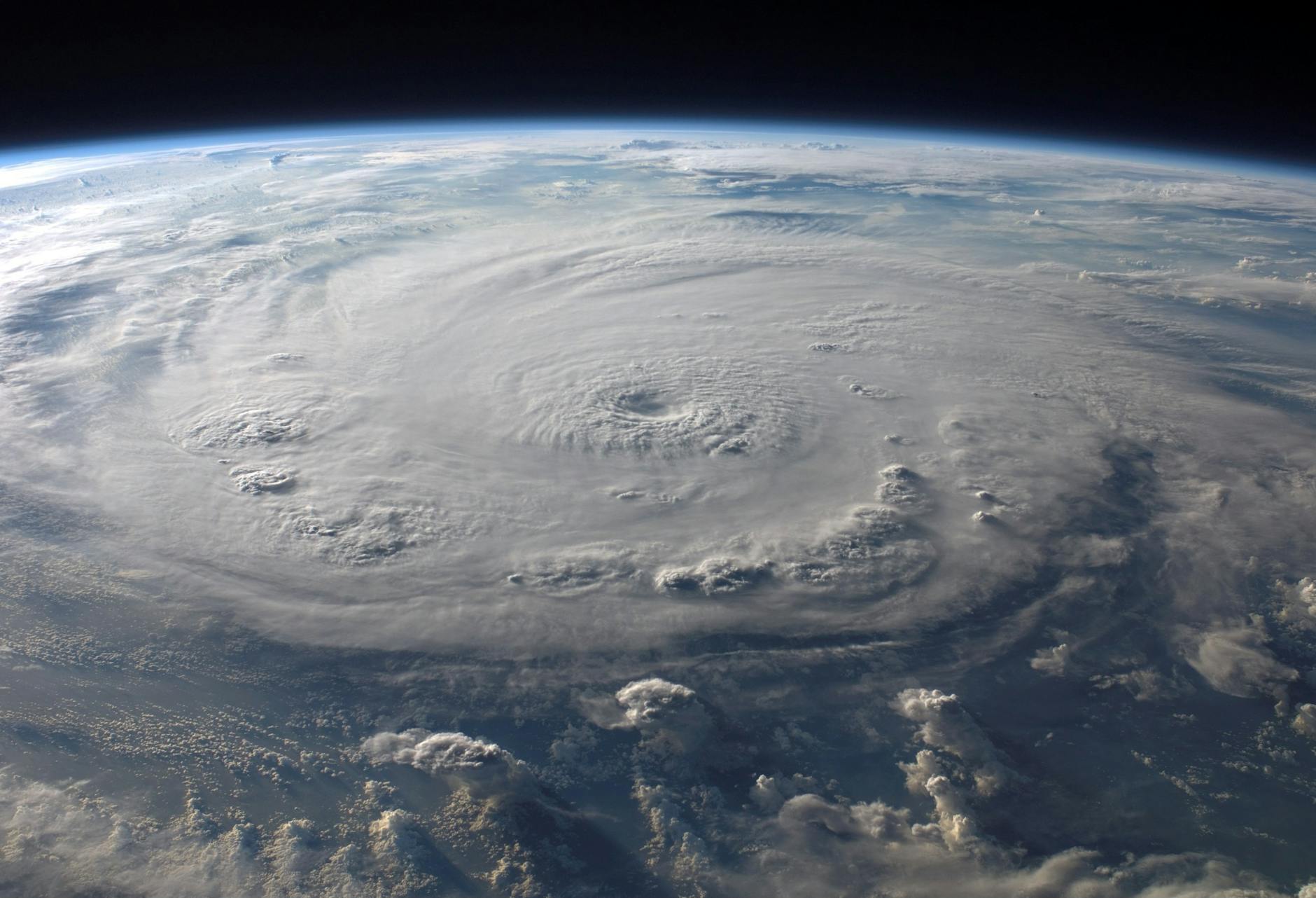
Over the past few decades, meteorologists have gotten a lot better at forecasting a hurricane’s path. They still have great difficultly, however, in calculating if and when the storm will intensify. Doing so is very difficult and understanding exactly what is going on inside a tropical cyclone is not an easy task.
This is where NASA’s new machine learning model comes in to play. The new system will drastically improve meteorologist’s calculations, which will give people that are in the storm’s path a lot more time to prepare or evacuate.
The system was developed by JPL (Jet Propulsion Laboratory) scientists in Southern California. The choice to do so came after JPL scowered through many years of satellite data-sets.
JPL discovered that there are three data-points that suggest when a hurricane or typhoon will become more severe. One of them is when there is suddenly a lot of rainfall in the center of the storm. Another is a change in the level of ice water within the storm’s clouds. And lastly, when there is a shift in the temperature of the mass of air that is flowing away from the storm’s eye.
Then, the JPL team used IBM Watson Studio to construct a model that can analyze all these variables far more accurately and quickly than a human ever could. It also factors in models that are already in use by the NHS (National Hurricane Center).
What is IBM Watson Studio?
IBM Watson Studio is an IDE (Integrated Development Environment) that is engineered to make it the task of developing, training, and managing AI models simple. It also helps faciliate an AI models deployment via the IBM Cloud.
The model was trained by JPL scientists to be able to detect when a storm rapidly intesensifies That level is definited as a storm who’s wind speeds increases by at least 35 mph within a 24 hour period. The data was applied to all storms that hit the US between 1998 and 2008. The AI model was then tested on storms that hit the US between 2009 to 2014. Lastly, they compared their new forecasts to those that were provided by National Hurricane Center for the last set of storms.
According to JPL, its model was 60% more accurate at predicting a hurricane’s winds would increase by at least 35 mph within 24 hours. Even better, for storms whose winds surged even faster by at least 40 mph, JPL’s model outperformed NHS’s by 200%.
Now, JPL is focusing the model on storms in the current hurricane season. When it proves successful, it will assist in the minimization of property and life loss.
If you are interested in learning more about the research paper, you can find it in the scientific journal ‘Geophysical Research Letters’.
